
Autodesk ReCap Pro: Turn the physical into digital
Reality capture and 3D scanning software.
What is Autodesk ReCap Pro?
ReCap® Pro software helps designers and engineers capture high quality, detailed models of real-world assets. Use ReCap Pro to:
-
Understand and verify existing conditions and as-built assets to gain insights and make better decisions
-
Deliver a point cloud or mesh in support of BIM (Building Information Modelling) processes and collaborate across teams with real-world context
-
Survey, plan, construct and renovate building and infrastructure projects
Note that, in addition to a subscription, you need Autodesk Flex tokens to process ReCap data (cloud) services such as Scan to Mesh and ReCap Photo projects. Learn more.
ReCap Pro overview (video: 2:01 min.)


Why use ReCap Pro?
Reduce errors and build with confidence
Gain critical insights that help you make better decisions.
Work with rich and accurate digital models
Capture existing conditions throughout the full project lifecycle.
Support for BIM processes
Streamline workflows by integrating with design tools.
What you can do with ReCap Pro
Enhance insights with reality capture data
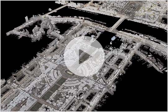
Use laser scans and photographs to generate accurate intelligent models that support a wide range of use cases in architecture, engineering and construction (AEC).
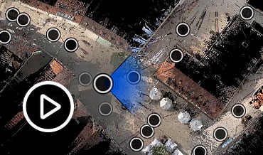
3D scanning for intelligent model creation (video: 1:58 min.)
Quickly generate survey-grade 3D models
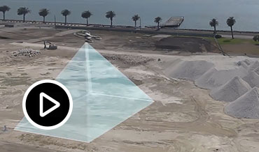
Use ReCap Photo, a service of ReCap Pro, to generate geo-located textured meshes, point clouds and ortho-photos of existing conditions from drone or UAV-captured data.
(Note that you need a ReCap Pro subscription plus Autodesk Flex tokens to process ReCap Photo projects. Learn more.)
Photo processing in ReCap Pro (video: 1:59 min.)
Visualise point clouds in the cloud
Manage and visualise point clouds in the cloud
Easily, store, search and share reality capture data anytime, anywhere with the Autodesk Construction Cloud.
What’s new in ReCap Pro
Transform the physical to digital with our newest feature, Autodesk Docs point cloud viewer, as well as other tools such as Scan to Mesh, seamless viewing and Autodesk Drive integration.
Learn the latest
More features of ReCap Pro 2023
Explore what’s possible
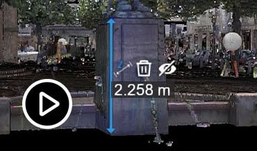
Measure and edit point clouds
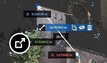
Enhance communication between collaborators with the ability to measure, mark up and share throughout the point cloud data.
Showcase your work with videos
Turn view states into handy animations you can use to create presentations.
Scan settings
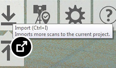
Benefit from a variety of settings during the project creation process, such as applying a noise filter or decimation grid.
Measurement feature
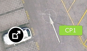
The Surface Snap feature measures clearance between a starting surface point and a point that projects outwards from the selection.
Integrate Navisworks data
Enrich your RealView panorama with Navisworks data.
Ortho image resolution
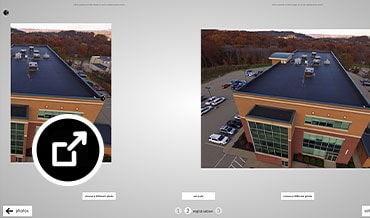
Generate high-resolution ortho images for large and small websites.
Faster processing
Leverage multi-core processors and speed up scan imports by up to 20%.
More accurate UCS setting
Gain greater control of the user co-ordinate system (UCS) origin and orientation with the ability to manually enter accurate co-ordinate values.






Reviews
Clear filtersThere are no reviews yet.