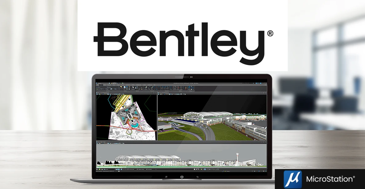
MicroStation
Bring Your Vision to Life
MicroStation is the only computer-aided design software for infrastructure design, helping architects and engineers like you bring their vision to life, present their designs to their clients, and deliver their projects to the community.
MicroStation is Infrastructure Design.
It’s Simple, really.
MicroStation not only builds the foundation of infrastructure design projects, but is also the foundation of your design and engineering solution. Providing you power, flexibility, and best-in-class features, without requiring add-ons, MicroStation makes it easy to work the way you want, leaving you time to do what you do best. With MicroStation, you can minimize risks, accelerate automation, and win more work.
Design
Create geospatially enabled 2D and 3D drawings for infrastructure projects and deliver them on time and on budget, even as project complexities and scale increase.
Communicate
Quickly produce better documents that communicate your design intent. Documents are industry compliant so you can stamp designs with ease and confidence.
Deliver
A common environment connects your applications, data, and teams, so that you can reliably deliver on even the most demanding projects.
MicroStation
MicroStation is easy to use and master through a configurable environment with in-app learning, video tutorials, and extensive support that helps you become an expert in no time.
*Prices vary per region. For more options, see licensing and subscriptions section.
Key Capabilities For Infrastructure Design
INTEROPERABILITY
Work with native DGN and incorporate legacy data and file formats like DWG and point-cloud data without conversions.
Reliability
Work collaboratively on any size project without size restrictions, crashes, or complications, knowing your system will always be on.
Visualization
Analyze and perform data visualizations on models based on their geometry or underlying attributes.
Standards
We’re an industry standard, which means your documentation is always standards compliant.
Real Data
Design with accurate real-world context, automatically, with geospatial information from thousands of systems.


Reviews
Clear filtersThere are no reviews yet.