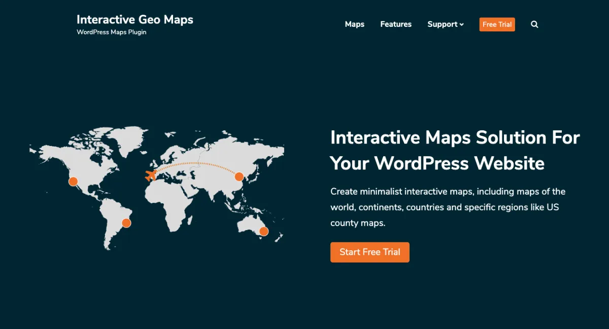
Solution For Your WordPress Website
Create minimalist interactive maps, including maps of the world, continents, countries and specific regions like US county maps.
Simple & Ready to Use
The plugin allows you to load hundreds of different vector maps available in the amcharts library. Maps for all countries in the world available, including United States of America, Germany, France, United Kingdom (UK), Netherlands, Spain, Australia, Italy, Poland, South Africa, Brazil, India, Japan and many others.
Check out all available maps →
Check out more US Maps examples
✈ For Travel Bloggers
Do you have a traveling website and want to display a map of the world with the countries you visited? And link each country to a list of articles about that country? We got you covered. Some of the most interesting features for travel bloggers:
- More than 200 maps available
- Automatically populate map with tags or categories
- Advanced Zoom Features
- And much more…
⚑ For Business Websites
Offices, stores, projects, vendors or any other thing. Use interactive markers in the map to point out locations related with your business. Some of the most interesting features for business:
- Custom Images as Markers
- Vector Icons as Markers
- Display content in lightbox or next to the map on click
- And much more…


